
Google DeepMind’s WeatherNext AI pushes hurricane forecasts a day further ahead
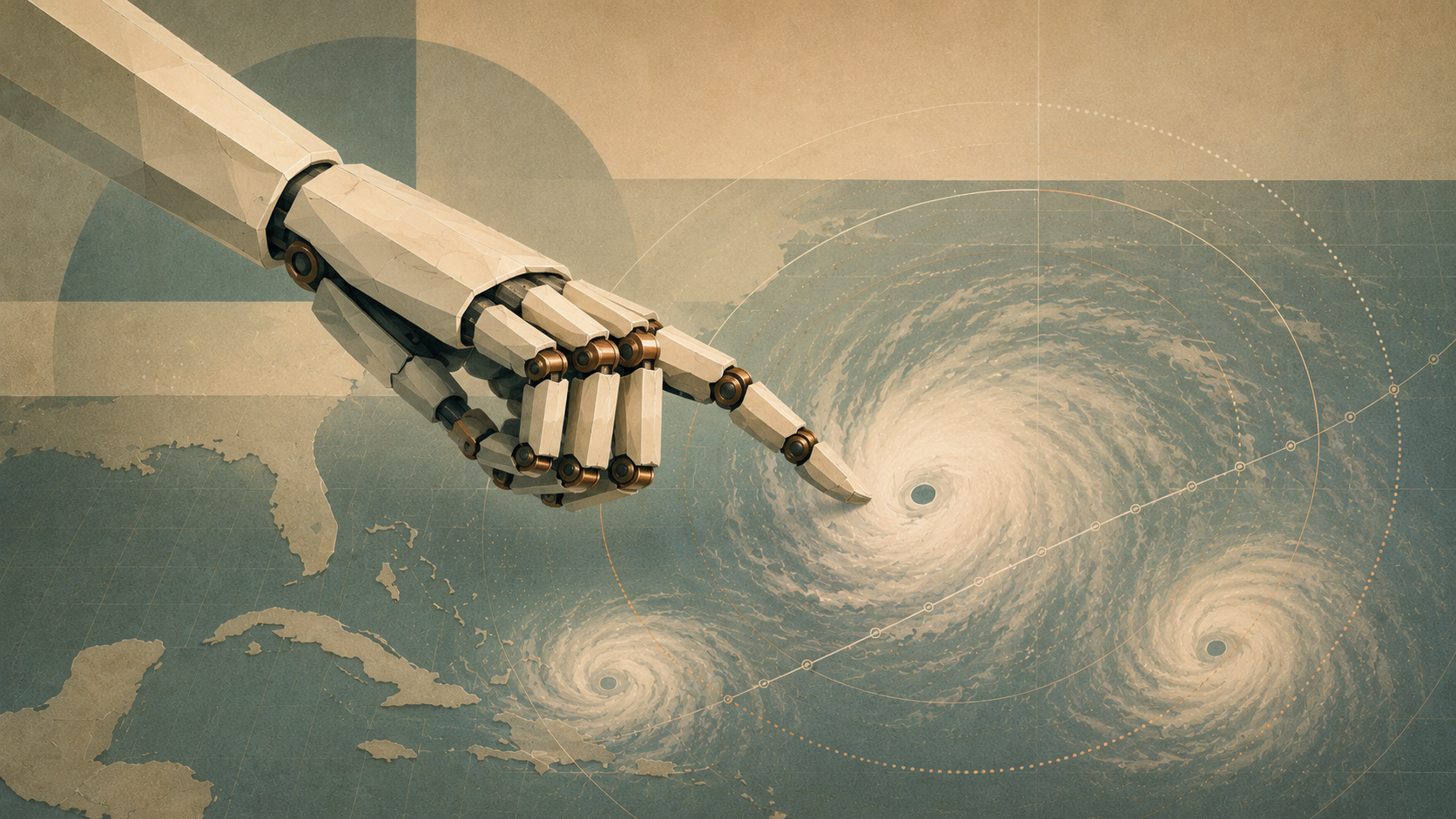
New research suggests Google DeepMind’s WeatherNext can forecast tropical cyclone tracks, intensity and wind structure with roughly an extra day of useful accuracy. The advance is significant, but it does not mean AI can reliably predict exactly where a hurricane will strike 15 days in advance.
Author: Nuvastra Editorial Team
Published: 7 August 2026
Last updated: 7 August 2026
Estimated reading time: 8 minutes
Category: AI & Science
Google DeepMind and Google Research have demonstrated an AI weather system capable of improving forecasts of both the path and strength of tropical cyclones, two problems that have historically demanded different types of weather model. Reporting on research published in Nature on 6 August says WeatherNext provides roughly one additional day of useful forecast skill, meaning a prediction made three days ahead can achieve accuracy comparable with previous systems forecasting about two days ahead.
The technology has already moved beyond retrospective experiments. During the 2025 hurricane season, the US National Hurricane Center incorporated Google DeepMind ensemble guidance into its forecasting process, including during Hurricane Melissa, alongside established physics-based and consensus models. Archived NHC discussions provide direct evidence of that operational use.
What WeatherNext does not provide is certainty. Its longer-range outputs describe possible weather scenarios, and Google itself states that experimental Weather Lab predictions are not official warnings. National meteorological agencies remain responsible for forecasts and emergency alerts.
What this article covers
This article examines what Google DeepMind's latest hurricane-forecasting results actually show, how WeatherNext differs from conventional numerical weather prediction, its role during Hurricane Melissa, why forecasting hurricane intensity remains unusually difficult, and where the evidence still requires caution.
Key takeaways
WeatherNext has demonstrated improvements in forecasting tropical cyclone track, intensity and wind structure, with reporting on the latest research indicating roughly 24 hours of additional forecast skill at comparable accuracy.
An experimental version of WeatherNext 2 can generate possible cyclone scenarios over a period extending as far as 15 days, but that is not equivalent to an accurate 15-day hurricane warning.
Google says WeatherNext predicted a Category 5-strength Jamaican landfall for Hurricane Melissa five days beforehand with 80 per cent confidence.
National Hurricane Center records independently confirm that Google DeepMind ensemble guidance was used alongside other forecasting models during Melissa.
AI forecasting is not replacing meteorologists. The outputs form part of a broader evidence base that includes numerical models, satellites, aircraft observations and expert interpretation.
Independent researchers continue to call for testing across more seasons, regions and extreme events before broad conclusions are drawn about the superiority of AI weather forecasting.
What has Google DeepMind achieved?
The advance addresses one of the awkward divisions in hurricane forecasting.
Predicting where a tropical cyclone will travel is primarily a problem of understanding the large atmospheric systems steering it. Predicting how powerful it will become requires modelling much smaller-scale processes inside and around the storm, including convection, ocean heat, wind shear and changes in the cyclone's internal structure.
Traditional global models have historically been useful for track forecasting because they represent large areas of the atmosphere. High-resolution regional hurricane models can devote more computing power to the storm itself, making them valuable for forecasting intensity.
Google's aim has been to produce a single AI system that performs well at both.
When it introduced its experimental cyclone model in June 2025, Google said it had trained the system using two kinds of information: decades of global weather reanalysis and a specialist database containing the track, intensity, size and wind radii of almost 5,000 recorded tropical cyclones from approximately 45 years.
Its early internal testing was promising. Google reported that, across 2023 and 2024 test data for the North Atlantic and eastern Pacific, its five-day track forecasts were on average 140 kilometres closer to the eventual cyclone position than ECMWF's ENS ensemble system. Google characterised that performance as comparable with ENS at around three and a half days, although these figures came from Google's own evaluation and were preliminary at the time.
The latest research appears to move that work considerably closer to operational relevance.
What does an “extra day” of hurricane forecasting actually mean?
The most important figure is easy to misinterpret.
An additional day of forecast skill does not mean WeatherNext suddenly discovers hurricanes exactly 24 hours before meteorologists otherwise could. Nor does it mean every forecast remains accurate one day longer.
Instead, the comparison concerns equivalent forecast accuracy at different lead times.
According to reporting on the newly published research, WeatherNext's cyclone predictions at around three days can achieve accuracy comparable with what previous models achieved at roughly two days. In practical terms, forecasters may be able to reach a similar level of confidence earlier in a storm's development.
For emergency planners, that distinction matters. An additional period of reliable warning can provide more time to organise evacuations, move supplies, protect infrastructure and communicate risks.
It is also why the widely repeated 15-day figure needs qualification. Google's WeatherNext system can generate potential cyclone scenarios stretching up to 15 days into the future, including possible formation, movement, intensity, structure and size. Those distant outputs contain progressively greater uncertainty and are explicitly labelled experimental by Google.
A 15-day modelling horizon is therefore not the same thing as a dependable 15-day landfall prediction.
Hurricane Melissa provided an unusually important real-world test
The most compelling evidence for WeatherNext did not come solely from historical simulations.
In October 2025, Hurricane Melissa developed in the Caribbean while forecasting systems initially differed over both its eventual path and how strongly it would intensify.
Google says WeatherNext identified the possibility of an exceptionally powerful Jamaican landfall early, assigning an 80 per cent probability to a Category 5-strength landfall five days ahead. According to Google, that probability rose to nearly 100 per cent three days before landfall.
Those figures should be treated as Google's description of its model's performance, rather than independent proof on their own. But the operational role of the model is independently documented.
National Hurricane Center discussions during Melissa repeatedly refer to Google DeepMind guidance. On 23 October 2025, for example, NHC forecasters discussed a shift in the Google DeepMind ensemble mean while comparing it with ECMWF, HAFS and other forecast guidance. Later discussions continued to use DeepMind ensembles when assessing Melissa's track.
NOAA's own June 2026 seminar programme subsequently described the model as the strongest guidance from the 2025 season for both track and intensity according to the NHC report.
That matters because a model that excels retrospectively is not necessarily useful in the messier environment of real-time forecasting. Melissa provides evidence that WeatherNext's outputs could contribute when meteorologists were making decisions about an actual dangerous storm.
In simple terms: how can an AI forecast the weather?
Conventional numerical weather prediction begins with measurements of the atmosphere and applies mathematical equations representing physical processes to calculate how that atmospheric state is likely to change.
AI weather models take a different route.
They learn statistical relationships from vast quantities of historical atmospheric data and use those learned patterns to predict how one atmospheric state is likely to develop into another.
WeatherNext is probabilistic rather than simply producing a single fixed answer. It generates an ensemble of possible futures. If many members of that ensemble converge on a similar result, forecasters gain information about the probability of that outcome. If the ensemble spreads across several very different futures, that disagreement itself communicates uncertainty.
That ability to generate large ensembles quickly is one of AI forecasting's potential advantages.
Reporting on the newest system says Google has increased the number of potential cyclone scenarios from 50 during last year's programme to as many as 1,000. Producing an equivalent number of forecasts using computationally expensive conventional numerical models would be considerably more difficult.
Why hurricane intensity is such a difficult problem
Predicting a hurricane's path has improved substantially over decades, but intensity remains stubbornly difficult.
Storm strength can change rapidly when several atmospheric and oceanic conditions align. Small differences in the internal structure of a cyclone can produce very different outcomes, while processes occurring on relatively small spatial scales can determine whether a storm strengthens, weakens or undergoes rapid intensification.
This is also one reason the latest WeatherNext results are scientifically interesting.
Researchers involved in the project told WIRED that they do not yet fully understand how the AI system extracts enough information from relatively coarse atmospheric data to make some of its intensity predictions. That does not invalidate the forecasts, but it raises a different scientific question: the model may be identifying predictive relationships in large-scale weather patterns that meteorologists have not yet fully characterised.
That makes interpretability more than an abstract AI-safety issue. Understanding why the model is successful could potentially contribute to meteorological science itself.
Why the results matter beyond hurricanes
Weather forecasting has quietly become one of the most important scientific testing grounds for modern artificial intelligence.
Google's earlier GenCast research, published in Nature in 2024, demonstrated that machine-learning systems could compete with leading numerical ensemble forecasts across a wide range of global weather variables and improve tropical cyclone track prediction.
WeatherNext extends that progression.
The significance is not simply that AI can calculate a forecast quickly. The more consequential possibility is that inexpensive generation of large probabilistic ensembles could allow forecasters to explore many more plausible atmospheric futures.
That matters particularly for rare, high-impact events. In those situations, decision-makers need to understand not only what is most likely to happen but also lower-probability outcomes that could have severe consequences.
The technology could therefore influence emergency planning, aviation, energy systems, agriculture, insurance and infrastructure management as well as meteorology itself.
The evidence still needs limits
Strong results from one system or one hurricane season do not establish that AI has solved weather forecasting.
Independent operational research published in Tropical Cyclone Research and Review in May 2026 found that AI global models reduced track errors and often converged on correct cyclone tracks earlier than selected traditional numerical models during operational use in the western North Pacific and South China Sea. But the researchers also highlighted continuing weaknesses in intensity and wind-structure prediction and warned that evidence from one season and one geographical region was insufficient to demonstrate universal superiority.
A Nature commentary published in March similarly argued that more rigorous assessment is required before AI systems are adopted widely by public forecasting agencies for extreme events.
WeatherNext's performance during the 2025 hurricane season is therefore important evidence, not the end of the evaluation process.
Different ocean basins produce different types of storms. Forecasting performance can vary between seasons. Rare events provide relatively little training data compared with ordinary weather. Climate change can also alter the conditions in which future extremes develop.
Long-term, independent and geographically diverse testing will matter.
Is AI replacing hurricane forecasters?
No.
The operational evidence so far points towards a combination of AI models, conventional numerical weather models, observations and human expertise rather than wholesale replacement.
During Hurricane Melissa, the National Hurricane Center compared Google DeepMind outputs with established systems including ECMWF guidance, HAFS hurricane models and consensus forecasts. Forecasters also had access to observations from satellites and hurricane reconnaissance aircraft.
Google itself explicitly tells users not to treat Weather Lab predictions as official weather reports or warnings and directs the public to national meteorological services for authoritative information.
The reason is straightforward. A hurricane forecast is not simply a predicted point on a map or a wind-speed number. Human forecasters must assess storm surge, rainfall, flooding, uncertainty, local geography and the consequences for individual communities before translating model information into warnings.
AI can improve the information available to those people without assuming responsibility for the final decision.
What is confirmed and what remains unclear?
Confirmed
WeatherNext is an AI weather-forecasting programme developed by Google DeepMind and Google Research. Its cyclone technology models track and intensity as well as broader storm structure, and the National Hurricane Center used Google DeepMind guidance operationally during the 2025 hurricane season.
Independent NOAA material describes the Google model as the strongest individual guidance during the 2025 season for both cyclone track and intensity.
New research reported on 6 August 2026 indicates an average forecast-skill advantage of approximately one day over previous systems at comparable accuracy.
What Google claims
Google says WeatherNext identified Hurricane Melissa's Category 5-strength Jamaican landfall five days beforehand with 80 per cent confidence and reached near-100 per cent confidence three days ahead.
What remains unclear
Long-term performance across many hurricane seasons and all tropical cyclone basins remains to be established. Independent research on other AI forecasting systems also shows that strong track performance does not automatically guarantee equally strong intensity forecasting.
Researchers also do not yet fully understand why WeatherNext appears capable of extracting some intensity information from comparatively coarse-resolution inputs.
Who is affected?
For meteorologists, WeatherNext adds another source of probabilistic guidance and potentially much larger forecast ensembles.
For emergency agencies and governments, improvements in reliable lead time could create additional preparation time before dangerous storms.
For AI researchers, the work provides another example of machine learning moving into a scientific field historically dominated by physics-based simulation.
For weather-modelling organisations, including national meteorological agencies, the results increase pressure to determine how AI models should be validated and integrated alongside established forecasting infrastructure.
For communities in cyclone-prone regions, however, the immediate message remains unchanged: WeatherNext is not itself a public warning system. Official instructions should continue to come from recognised meteorological and emergency authorities.
What happens next?
Google is expanding access to WeatherNext technology and says the models used during hurricane forecasting are being made available to researchers. The company is also working with meteorological organisations beyond the United States, including agencies in the Philippines, Taiwan, Indonesia and Vietnam, with further collaboration envisaged elsewhere in Asia-Pacific.
The more important next step will be evaluation.
Each new cyclone season adds something the field cannot manufacture easily: genuinely unseen extreme-weather events against which forecasts can be judged in real time.
If WeatherNext continues to perform strongly across different storms, oceans and seasons, its significance will become much clearer. If performance proves uneven, those failures will be just as important for understanding where AI forecasting belongs within operational meteorology.
WeatherNext's most important achievement is not that an AI can display a hurricane track on a screen. Machine-learning systems have been doing increasingly well at that for several years.
The more consequential advance is the evidence that a single AI forecasting system can become useful for both cyclone track and intensity while producing large numbers of probabilistic scenarios quickly enough to contribute to real-world forecasting.
Hurricane Melissa provided an unusually demanding test, and National Hurricane Center records show that Google's system was part of the forecasting evidence used while the storm was developing.
But the strongest interpretation remains narrower than the most dramatic headline.
WeatherNext has not made hurricanes predictable with certainty two weeks in advance. What it appears to have done is move the boundary of useful cyclone forecasting further out, by approximately a day in the latest comparisons.
In a field where extra warning time can change real decisions on the ground, a day is not a small improvement.
Frequently Asked Questions
What is Google DeepMind WeatherNext?
WeatherNext is a family of AI weather-forecasting systems developed by Google DeepMind and Google Research. The models learn from historical atmospheric data and produce forecasts of future weather conditions. An experimental version of WeatherNext 2 has been developed specifically to improve tropical cyclone forecasting, including storm formation, track, intensity, size and structure.
Can WeatherNext predict hurricanes 15 days in advance?
WeatherNext can generate potential cyclone scenarios extending up to 15 days, but this should not be interpreted as a reliable 15-day hurricane warning. Forecast uncertainty increases with lead time, and Google describes Weather Lab predictions as experimental rather than official forecasts.
How much earlier can Google's AI forecast a hurricane?
Reporting on the latest research says WeatherNext provides roughly one additional day of forecast skill at comparable accuracy. A three-day WeatherNext forecast can therefore achieve approximately the accuracy previous systems reached at around two days. This is an average comparison of forecasting skill, not a guarantee for every storm.
Did WeatherNext predict Hurricane Melissa?
Google says WeatherNext predicted a Category 5-strength landfall in Jamaica five days beforehand with 80 per cent confidence, rising to almost 100 per cent three days ahead. National Hurricane Center records independently confirm that Google DeepMind guidance was being used alongside other forecast models during Melissa.
Does AI replace hurricane forecasters?
No. AI-generated forecasts are one source of guidance. Operational forecasting combines different models with satellite observations, reconnaissance aircraft, measurements and expert judgement. Google explicitly states that Weather Lab is experimental and that official warnings should come from recognised meteorological authorities.
Why is predicting hurricane intensity difficult?
Hurricane strength depends on interactions between ocean heat, atmospheric moisture, wind shear and small-scale processes inside the storm. These can change quickly, making rapid intensification particularly difficult to forecast. Global models have historically been stronger at predicting a cyclone's path than resolving the detailed processes affecting its intensity.